Zory – 3D city
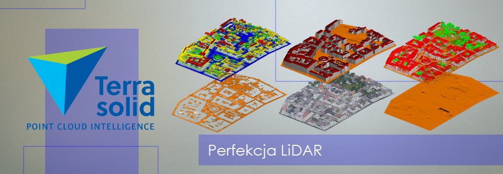
In spring 2013, the company ProGea Consulting performed a pilot project on three-dimensional models of buildings for the city center of Zory.
Input:
- Classified point cloud from the ISOK project (density 12 pkt/m2);
- Aerial photos (PZGiK);
- Photos of the buildings facade (photo: T. Majos).
Model building was performed using the Terrasolid applications.
As a result we created three-dimensional models of LOD2 level buildings with the textures of the Main Square and LOD2 level buildings without textures of the facade for the rest of the buildings. The models were exported to *. Kmz which can be visualize in Google Earth.

