GIS and Remote Sensing

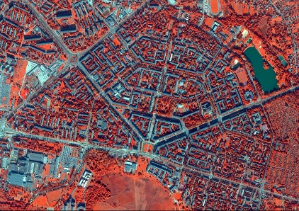
Due to variety of using Geographic Information Systems and more possibilities given by satellite imagery, we would like to invite you to trainings: 

  • Introduction to spatial analysis in ArcGIS software.
  • Spatial analysis execution in ArcGIS software with Spatial Analyst extension.
  • Spatial analysis execution in ArcGIS software with 3D Analyst extension.
  • Basics of Object Based Image Analysis (OBIA).
  • Advanced Object Based Image Analysis (OBIA).

teledetekcja

If you are interested in getting further information about our trainings, contact us: szkolenia@progea.pl