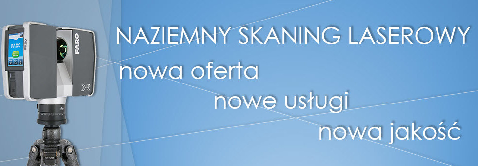
Department of LiDAR ProGea Consulting is responsible for photogrammetric projects, particularly related to laser scanning. The tasks are performed by experienced surveyors, photogrammetry specialists – Krakow university graduates.
We distribute professional software:
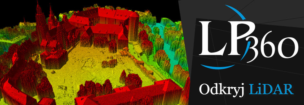
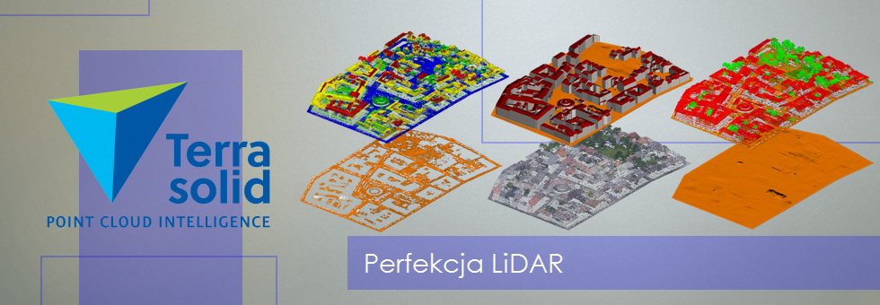
- to work with data from laser scanning: Terrasolid, LP360, LiDAR Server, LiS;
- for visualization and sharing 3D models: CityPlanner, 3DMaps.
We also conduct professional training courses and webinars suited to customer needs.
Services offered by the Department of LiDAR :
- matching and classification of point clouds;
- generation of DTM, DSM and NDSM with LiDAR data;
- mapping the potential for solar power;
- generation of surface contours;
- mapping of road and rail infrastructure;
- vectorization of architectural objects;
- preparing of 3D city models;
- animations and 3D visualization;
- quality control of air and mobile scanning in the correct geometry, classification, or correctness of the geometric and radiometric orthophotos;
- production of orthophotos and true orthophotos (RGB, CIR);
- aerial photos interpretation;
- products created on photogrammetric station Dephos include: photogrammetric projects, stereodigitalization of aerial photos, ground and air -based image processing, ortorectification of orthophotos, making and updating of cadastral maps, obtaining a GRID and TIN, the detection of illegal constructions.
Our technology development LiDAR data are used in a variety of areas:

