Trainings within the MONIT-AIR project
8-10 December 2105 our company conducted trainings for the officials the Krakow City Office organized within MONIT-AIR project. The project’s goal is to improve the Krakow air quality. Participants were trained in the usage of R3 TREES (the application bought by the City of Cracow within MONIT-AIR project), and QGIS applications. QGIS training took place […]
ISOK Training LiDAR – 2nd edition

24 July 2015 ProGea Consulting – the consortium lider – successfully ended up the second edition of LiDAR workshop organized within the ISOK project. During three weeks of workshop our team trained 120 people from all over the Poland. Participants who represent various fields of science and economy. The workshop participants had an opportunity to […]
Usage of LiDAR products in renewable energy

ProGea Consulting Company has organized a workshop for Wind-Hydro Company about usage of LiDAR products in renewable energy. Participants of the workshop gained a knowledge of advanced methods of point clouds processing, derivation of products from LiDAR data and various possibilities of their usage. An aim of the workshop, dedicated especially for the wind energy, […]
ISOK LiDAR Training

Progea Consulting Company acting in consortium with OPGK Krakow and Poland signed in Esri March 25th, 2014 the Bank signed with the Central Office of Geodesy and Cartography in the execution of the contract for the “Comprehensive organization of training courses on the use of LiDAR products developed under the project ISOK”. The contract will […]
Develop data for TerraTec company

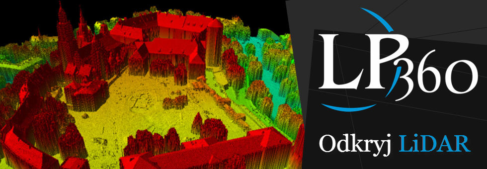
LIDAR department cooperates with the Norwegian company TerraTec implementing a number of projects related to laser scanning. Cooperation relates both air (ALS) and mobile (MLS) laser scanning. The ALS LIDAR department performs the following projects: Execution terrain model and production of contours with 1 m cutting – a project for the area of about 3000 km2 (the […]
Zory – 3D city

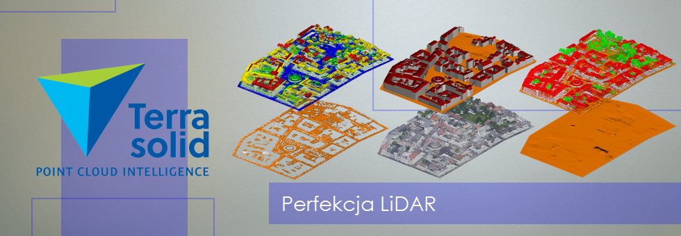
In spring 2013, the company ProGea Consulting performed a pilot project on three-dimensional models of buildings for the city center of Zory. Input: Classified point cloud from the ISOK project (density 12 pkt/m2); Aerial photos (PZGiK); Photos of the buildings facade (photo: T. Majos). Model building was performed using the Terrasolid applications. As a result […]

