


Remote Sensing
GIS department specializes in object-oriented classification method of remote sensing imagery. This is a innovative technique which combines accuracy of manual classification and the speed of the pixel-based classification. Map of land use and land cover (LULC called) can be stand-alone product or provide a basis for further analysis.
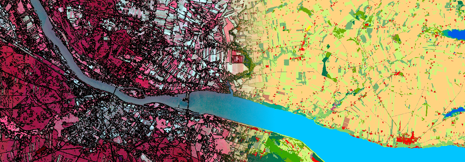
The result of classification is most commonly used to update the content of thematic maps, such as maps and soil – farming. In this case, GEOBIA can accurately define the classes of land cover areas the size of the region or more. Drawing up-to-date maps of land use and land cover is essential for the GIS modeling, risk assessment, for example, erosion of agricultural soils, which ProGea Consulting conducted for the region of Malopolska. This analysis allows us to indicate points of particular risk of erosion, but it sued the farming methods used to counter any increase in hazardous areas or the creation of the population (eg, landslides).
One of the most interesting uses of object classification is the analysis of changes in land cover over the years. They perform change detection within such region one can observe many landscape transformation processes, such as the development of urban areas or the process of increasing the forest cover of the country.
Download
Article: Update of soil-farming map with use of Object Based Image Analysis of remote sensed data.