Inventory of forests in Saxony
 In 2012, ProGea Consulting, along with the German company LandConsult, completed a pilot project for Sachsenforst, whose aim was to conduct an inventory and generate statistics and maps for selected forest areas of Saxony.
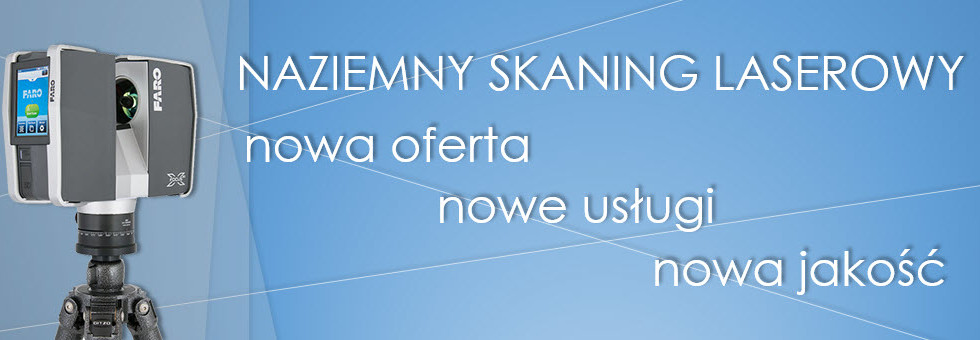
The first step was to make an inventory carried out measurements of the three regions of forest professional scanner FARO Focus3D. To provide a complete imaging trees, TLS point cloud integrated with ALS data from Sachsenforst. In this way, acquired a complete information about the volume and spread their crowns.
The next step was to generate outlines the treetops of a standardized cloud of points in the eCognition. After determining the selected features (i.a. height, diameter at breast height, crown volume) compared with archival data.
Inventory conducted detect many shortcomings and deficiencies in the updated database. Many of the trees have been cut – in those parts of the point cloud tree trunks can be found. Comparison of the position of the trees also helped to detect those that have been incorrectly mapped in the traditional field measurements.


