Verification of the project ISOK
Information System of Country Protection Against Extraordinary Hazards (ISOK) is one of the most important projects executed to improve the security of the country against natural risks especially flood. Project is financed by the European Regional Development Fund under the Innovative Economy Operational Program and it is implemented in the years 2011-2013.
The project is executed control airborne LiDAR data and orthophotos, generation of DTM and DSM for two data standards (4pt per m2 and 12 pt per m2) over an area of 200 thousand km2 in Poland. Performance of the tasks involved in the consortium Compass PGI SA (leader), MEXNER Vermessung ZT GmbH from Austria, OPEGIEKA Sp. z o.o. from Elblag and ProGea Consulting under contract awarded by the Head Office of Geodesy and Cartography in Warsaw.
The main tasks of supervising and controlling include the following:
- LiDAR data density control;
- relative georeferencing, control;
- absolute georeferencing control;
- point cloud classification control;
- control of assignments attributes RGB to point cloud;
- control of points at the blocks common area;
- orthophotos quality control (correctness of the geometric and radiometric).
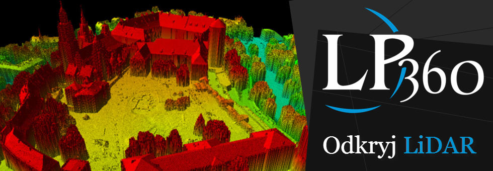
We encourage you to look at the Polish 3D cities from ISOK project.

