


Inventory of railway line in South America
 In cooperation with the Argentinian company Consular in 2011-2012 LIDAR department realized projects related to the inventory of the railway line on the section Rosario – Tosta located in Argentina. The project
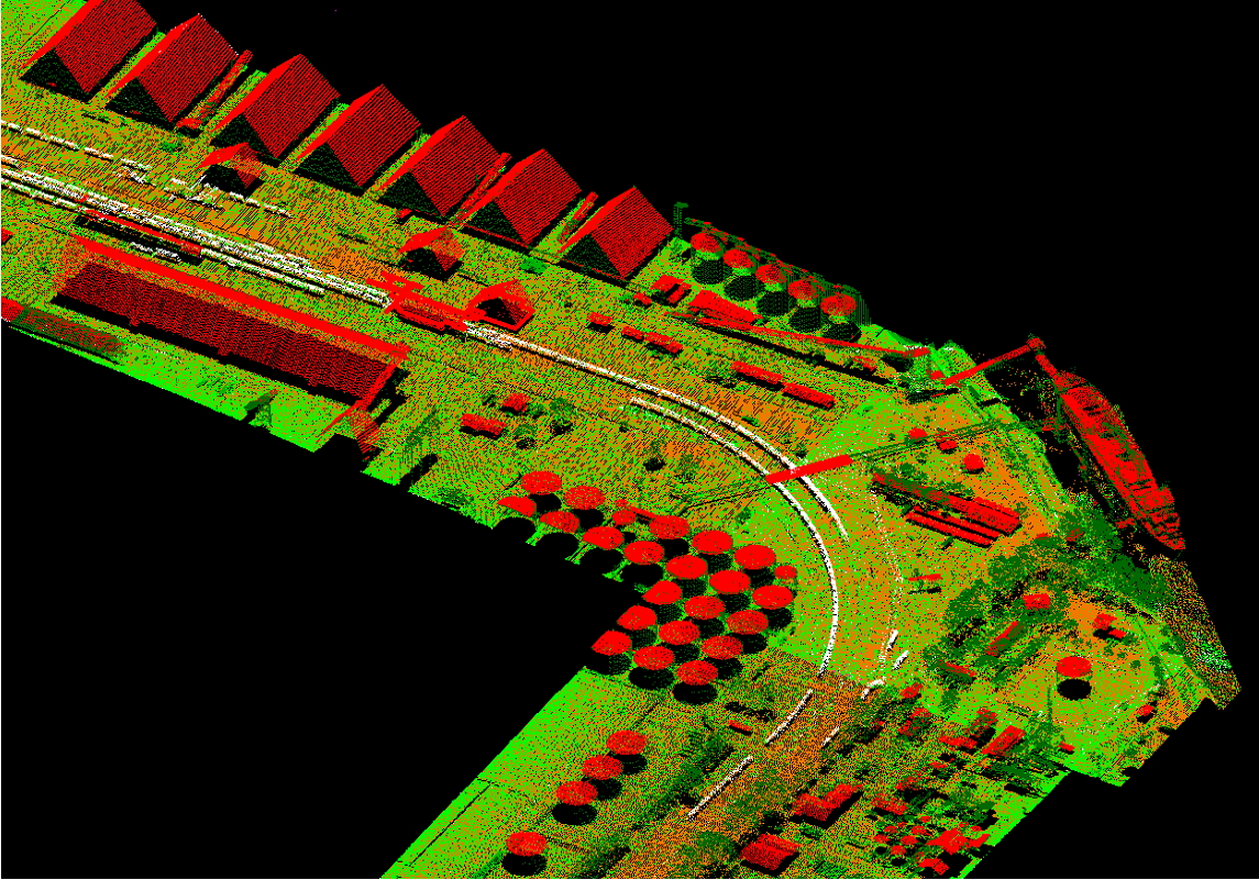 provided for the creation of a very precise model of the ground surface with the outline of the buildings within range of the railway traction.
The project was based on the raw data from airborne laser scanning and orthophotos and performs automatic point cloud classification and manual correction, vectorization of buildings located within the range of the railway traction and the generation terrain models.
Gallery


