Base of processing ALS data using the LP360 software
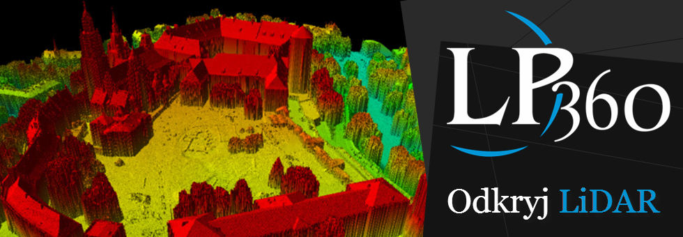
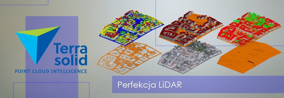
On the seminars we were talking about issues including public acces to data gathered i PZGiK (from ISOK project) and their possible use in industrial applications or scientific researches. Also, during the trainings were shown base abilities of LP360 software (Qcoherent) working in Esri environment and cincerning the visualization and edition of LiDAR point cloud, derivative products generating tools, interactive and automatic tools serving, for example to classification of ALS point cloud, creation of terrain discontinuity lines and point clouds contours.


