Sorry, this entry is only available in polski.
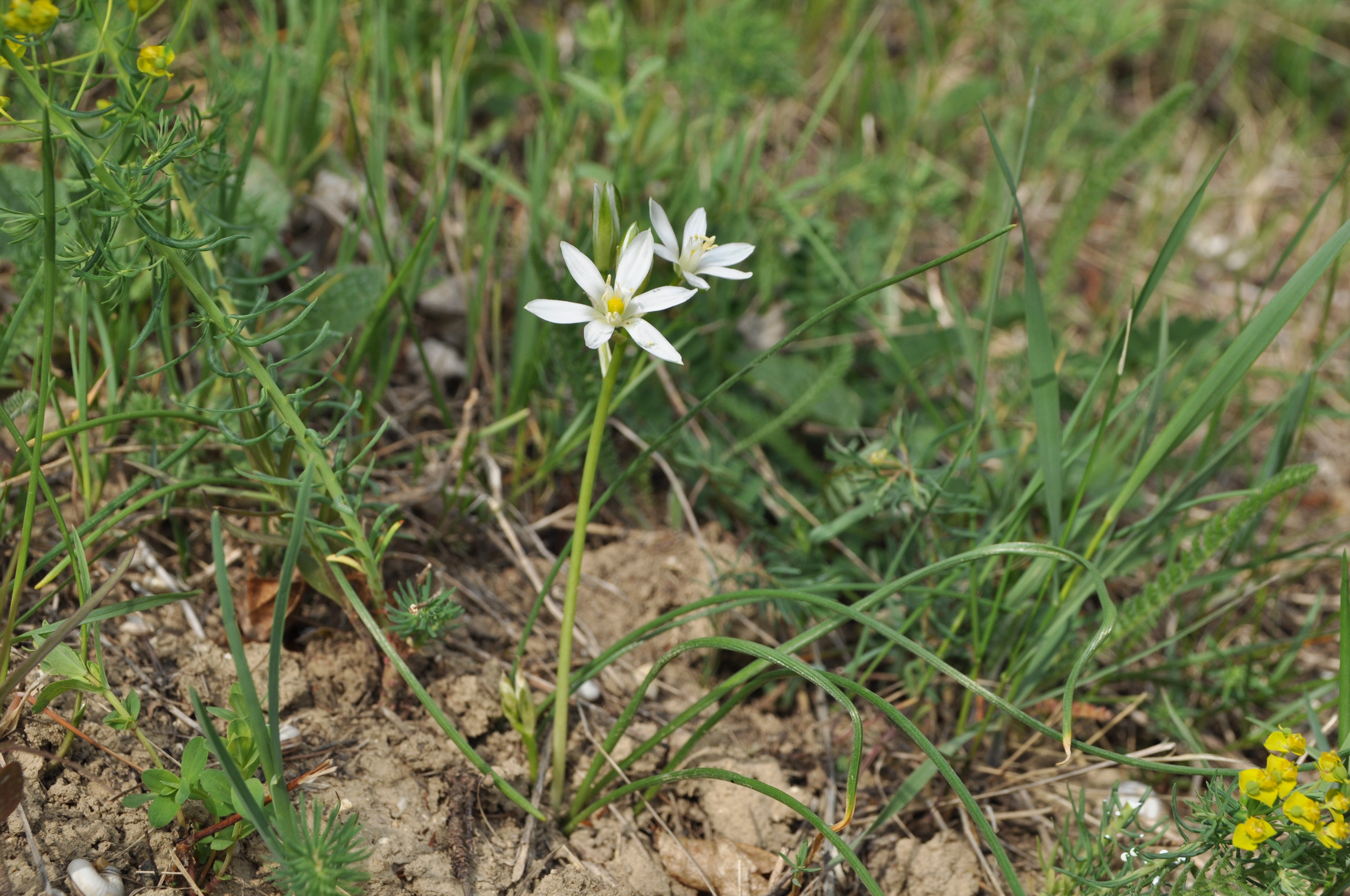
On 14 May 2015 in Giebułtów take place the first consulting meeting for Plan of Protection Tasks (PZO, pl. Plan Zadań Ochronnych) for Natura 2000 areas in Miechowska Upland. ProGea Consulting Company with Regional Directorate for Environmental Protection in Krakow would like to invite all interested in PZO for Natura 2000 areas: Cybowa Góra PLH120049, […]
ProGea Consulting Company would like to invite you for training dedicated to LiDAR data processing in LP360 software. LP360 is a software which can be used both as standalone application and as ArcGIS extension. This makes LiDAR data extremely powerful source of information as a base for Spatial Analysis in GIS. During the training you […]
LASERDATA Company relased a new version of LiS software. Application is avaliable in 2.1.2 version, were you can find a new module for advanced proccesing of Point Cloud Coordinate Systems. Moreover, now you may thin LiDAR data, clasifficate them and create profiles in more complex way. A new LiS Point Cloud Vectorizer module will help you […]
On 03.02.2015 our specialists took part in 3 days Terrasolid European Users’ Event 2015 in Praque. The event gathered around 120 people from European companies, research centres and universities. Participants of the event had a possibility to gain a knowledge about both Mobile Laser Scaning, new functions of TerraSolid software and moving objects detection registered […]
ProGea Consulting Company has organized a workshop for Wind-Hydro Company about usage of LiDAR products in renewable energy. Participants of the workshop gained a knowledge of advanced methods of point clouds processing, derivation of products from LiDAR data and the various possibilities of their usage. Workshop’s exercises contained topics related to practical usage of LiDAR […]