Training: LiDAR data proccessing in LP360 software
ProGea Consulting Company would like to invite you for training dedicated to LiDAR data processing in LP360 software.
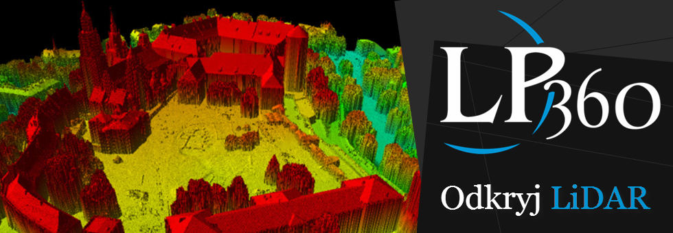
LP360 is a software which can be used both as standalone application and as ArcGIS extension. This makes LiDAR data extremely powerful source of information as a base for Spatial Analysis in GIS.
During the training you will gain a knowledge of:
- statistical analysis of point cloud attributes,
- automatic and manual classification of LiDAR data,
- Digital Elevation Models and Contours Maps generation
- generation of 3D shapefiles based on LiDAR products,
- breaklines digitalization,
- usage of LiDAR data in volumetric calculations,
- 3D building models generation,
- 3D data visualisation 3D.
“LiDAR data processing in LP360 software” training take place on 15-17 April in our office in Kraków.
If you are interested in participation at the training, contact us: szkolenia@progea.pl

