LP360 in National Park of Bory Tucholskie
ProGea Consulting was selected for the delivery of specialized software for photogrammetric processing data from aerial laser scanning.
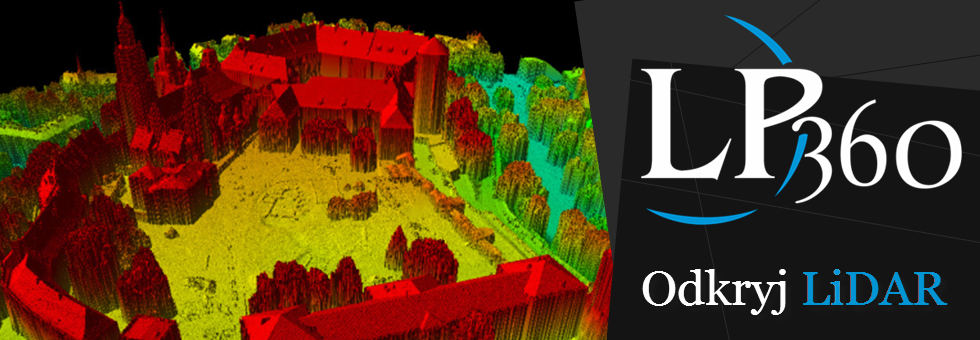
The contract related delivery of LP360 Advanced software (QCoherent), by which the functionality of ArcGIS (ESRI) can be extended of the processing data from laser scanning (LiDAR). This software will allow for a more complete description of the natural environment. Software Advanced LP360 using data from aerial laser scanning will be able to implement Protection Plans for Nature by monitoring the status of behavior habitats and planning further protective, assessment of land use and identify and monitor anthropogenic threats (e.g. investment projects in the buffer zone of the park). Advanced LP360 software will be used to monitoring and inventory vegetation, to define characteristics of forests stands and to achieve other than above tasks for which obliges the Protective Plan. The company QCoherent is a producer LP360 software which is a desktop software for LiDAR data processing using ArcGIS software. The QCoherent also offers the LiDAR Server application (www.lidarserver.com), which makes cloud of points from a variety of LiDAR technology (ALS, TLS, MMS) accessible for users of the Internet. ProGea Consulting since 2011 is the exclusive distributor of this software in Poland and the Baltic Countries.

