Bieszczady National Park acquired the LP360!
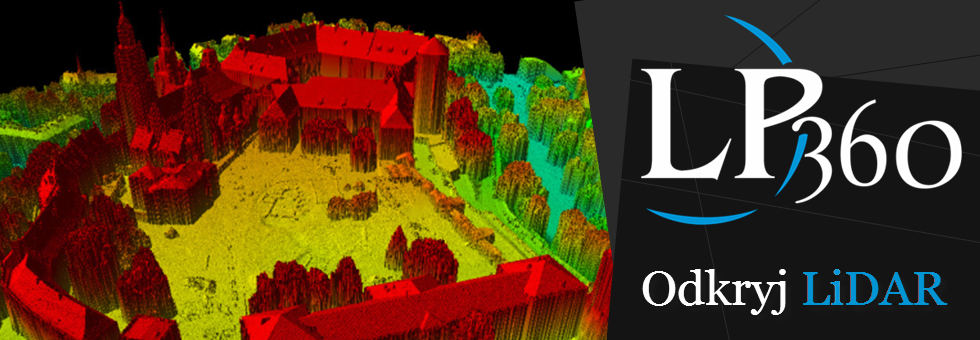
Bieszczady National Park joined the group of institutions that have acquired the LP360 to carry out their work in the field of LiDAR data processing. Park representatives will also participate in a 3-day stationary training, which will aim to familiarize them with the functionality of the software.
Employees Bieszczady National Park LP360 want to use software for analysis:
- stand, along with its variability
- micro sculptures
- peatlands, and
- the effects of forest management on the quality of stands
Company QCoherent LP360 is a software used for LiDAR data processing, among others, ArcGIS software. ProGea Consulting since 2011 is the exclusive distributor of the software in Poland and the Baltic States.

