Managing the urban space – use of the ALS data from ISOK project.
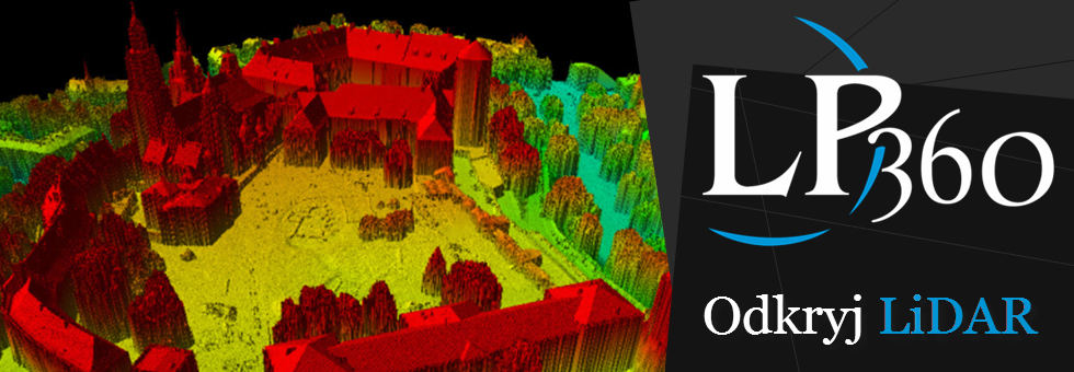
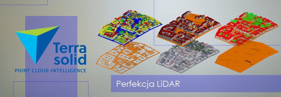
The seminars were about subjects of using the data from ISOK project to spatial planning, analysing of flora features and analysing infrastrucuture locations, for exmaple transportation. There were also shown the examples of using the LiDAR data in stocktacking of energetic infrastructure and also in crisis managment, or archeology. Likewise in LP360 software were made analysis for effective managing the urban space basing on derivative products of aerial laser scanning.


