Base of processing LiDAR data in LP360 software
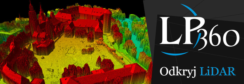
The issues that seminars were talking about included public access to to data collected in PZGiK (from ISOK project) and possibility for using it in industrial applications or scientifical researches. Also, during the training there were shown abilities of LP360 software (Qcoherent) working in Esri environment and concerning visualization and edition of LiDAR point cloud. In details were discusses tools for derivative products generation, ALS point cloud classification and also for creating terrain discontinuity lnes and cloud point contours. Link to the presentation from webinar below.
Podstawy przetwarzania danych LiDAR w oprogramowaniu LP360.pdf

