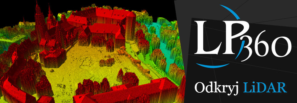
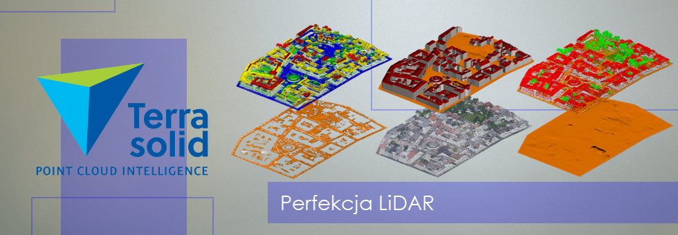
Point cloud classification in LP360 software.
The seminar was about classification of data from aerial laser scanning in LP 360. Issues were concerning an automatic and interactive classification of point cloud. There were also shown individual precesses that should be made during the postprocess associated with point cloud classification. I will use data whnnich was classified on seminar to generate vector and raster derivative products.

