Sign up for our workshop at the GTP conference
We would like to invite you to a workshop conducted by our company at the conference GTP. The conference is organized by the Department of Geodesy and Geodetic Astronomy of the Warsaw University of Technology. The aim of the conference is to present the latest techniques and geospatial software. The conference will take place on 23-25 May 2013, in the Main Building of Warsaw University of Technology.
Conference participants will be able to get to know the GTP wide range of our services offered in the field of airborne laser scanning (ALS), mobile laser scanning (MLS) and terrestrial laser scanning (TLS) presented at our stand No. 6 in the Main Building of Warsaw University of Technology.
Those who are interested in laser scan data processing can take part in our workshops:
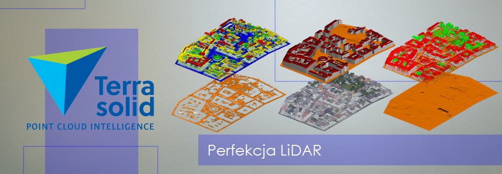
- May 23 at 16:00 – 18:00; Classification and generating a point cloud elevation models in the software Terrasolid. During the workshops we will present LiDAR data classification capabilities using the tools available in TerraScan application. We will also present the issues of generating high-rise models using ground breaklines in TerraModeler applicaton.
- May 24 at 16:00 – 18:00; Use of ALS data from project ISOK in LP360 software for ArcGIS. Based on data derived from project ISOK we will present opportunities for integration of vector data from BDOT with LiDAR data. Furthemore, we will use LiDAR data to build a 3D model of the city and also to the analyzes for the proper management of urban space. These and other things we will do in the software LP360 for ArcGIS.
You can register at the following link:

