Wigry National Park with LP360 Advanced
We are pleased to announce that Wigierski National Park will be provided with a software company QCoherent Advanced LP360.
The software will be used to:
- analysis of peat bogs in the area of the park and adjacent areas it
- preparation of the models heights
- mapping areas at risk of erosion
- analysis of biomass volume
- work on identifying the characteristics of taksacyjnych stands
- monitoring changes
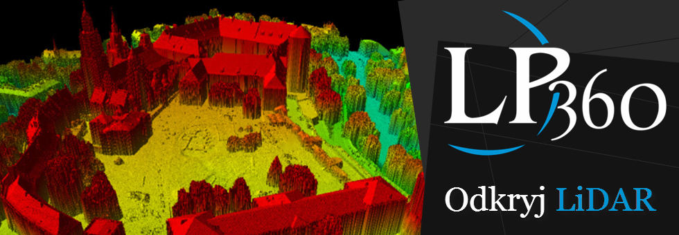
QCoherent Company LP360 is a software used for LiDAR data processing, among others, ArcGIS software. The company also offers the application LiDAR Server (www.lidarserver.com), which provides cloud of points from different LiDAR technology (ALS, TLS, MMS et al.) Wide range of Internet users ProGea Consulting since 2011 is the exclusive distributor of this software in Poland and the Baltic States.

