Ground laser scanning in forest of south-western Germany
ProGea Consluting with german partner landConsult.de have made the ground laser scanning in south-western Germany. Scanned were the groups of firs, 45 m and with 132 cm diameter.
Effects of the co-operation are visible in the video below, showing the 3 firs (Albies alba L.) 150 to 200 years old.
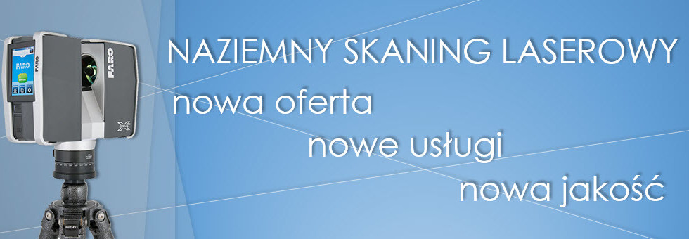
Data was gained by FARO FOCUS 3D data from sic stands. Also the GNSS Stonex reciever was used to geoconferention of data. Scanning and GNSS measurment were made in November 2013

