Laser data of Wrocław available on LIDARServer!
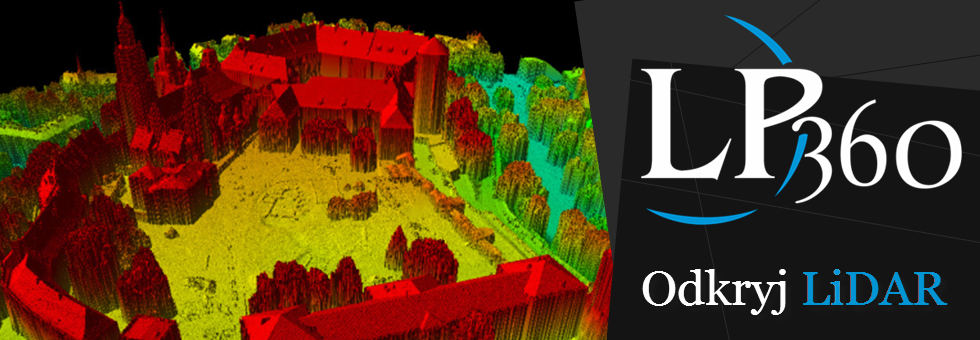
Geographical Information System of Wroclaw presented testing data from aerial laser scanning received in 2006, which are already on the LIDARServer.
Users of LIDARServer interested in data from the Wroclaw will be able to view and download for free LIDAR data. Access to the data is possible on www.lidarserver.com website which is using Silverlight plug and OpenLayers – www.lidarserver.com / demo. In addition, users can use the WMS for city of Wroclaw http://69.73.17.83/Wroclaw – for the full list of addresses WMS LIDARServer click here.
Presented data of Wroclaw city as a result of project related with creating orthophotomap of Wrocław city and generating both Digital Terrain Model( DTM) and Digital Surface Model (DSM). The study area covered 330 km2 and the required average density of cover points was at least one point/m2, but finally the average density of cloud points was 3.5 point per m2.
The following video shows how to work with data on LIDARServer.
The Producer of LIDARServer software is an American company QCoherent, the company’s offer also includes a desktop solution – LP360. The exclusive distributor of the application is ProGea Consulting company.

